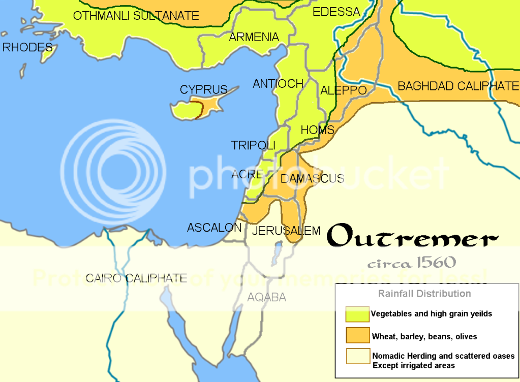
Note the correspondence between the states and the annual rainfall patterns.
Next is the religio-political map of Outremer:

Now you see the isolation of Ascalon, the balance between the Turks, Baghdad, and Cairo, and the position of power the Ismailis (AkA the Assassins) have taken with Homs.
I love maps!
-clash
No comments:
Post a Comment